Enjoy views of Rocky Mountain National Park from 10,800 feet on the hike to Sky Pond. Featuring everything you need to know before you go.
Sky Pond is one of the top day hikes to do when visiting Rocky Mountain National Park. On the trail, you’ll climb up and over waterfalls, past rushing creeks, and through lush alpine forests to be rewarded with incredible mountain views from 10,800 feet.
As one of the the most popular hikes, you will need a reservation for Bear Lake Corridor and possibly even take the park’s shuttle service due to limited parking at the trailhead. The trailhead itself starts at 9,000 feet, so those visiting from lower elevations may have some difficulty on this trail.
Remember bring plenty of water, snacks, sun protectant, and take your time.
This post contains affiliate links, so we may earn a small commission when you make a purchase through links on our site at no additional cost to you.
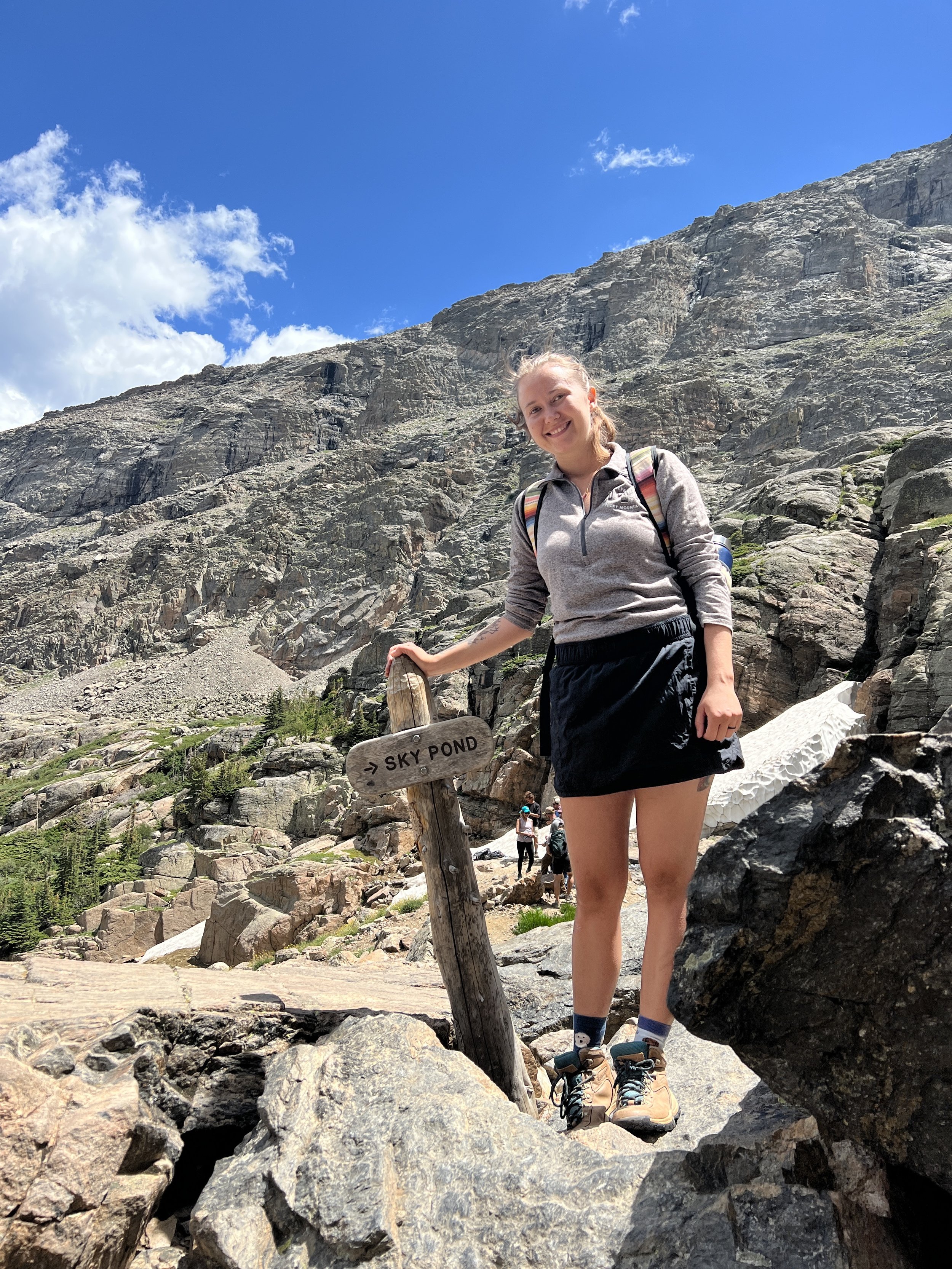
TRAIL STATS
Distance: 10 Miles | Difficulty: Strenuous | Elevation Gain: 1,771 FT | Time: 6 Hrs
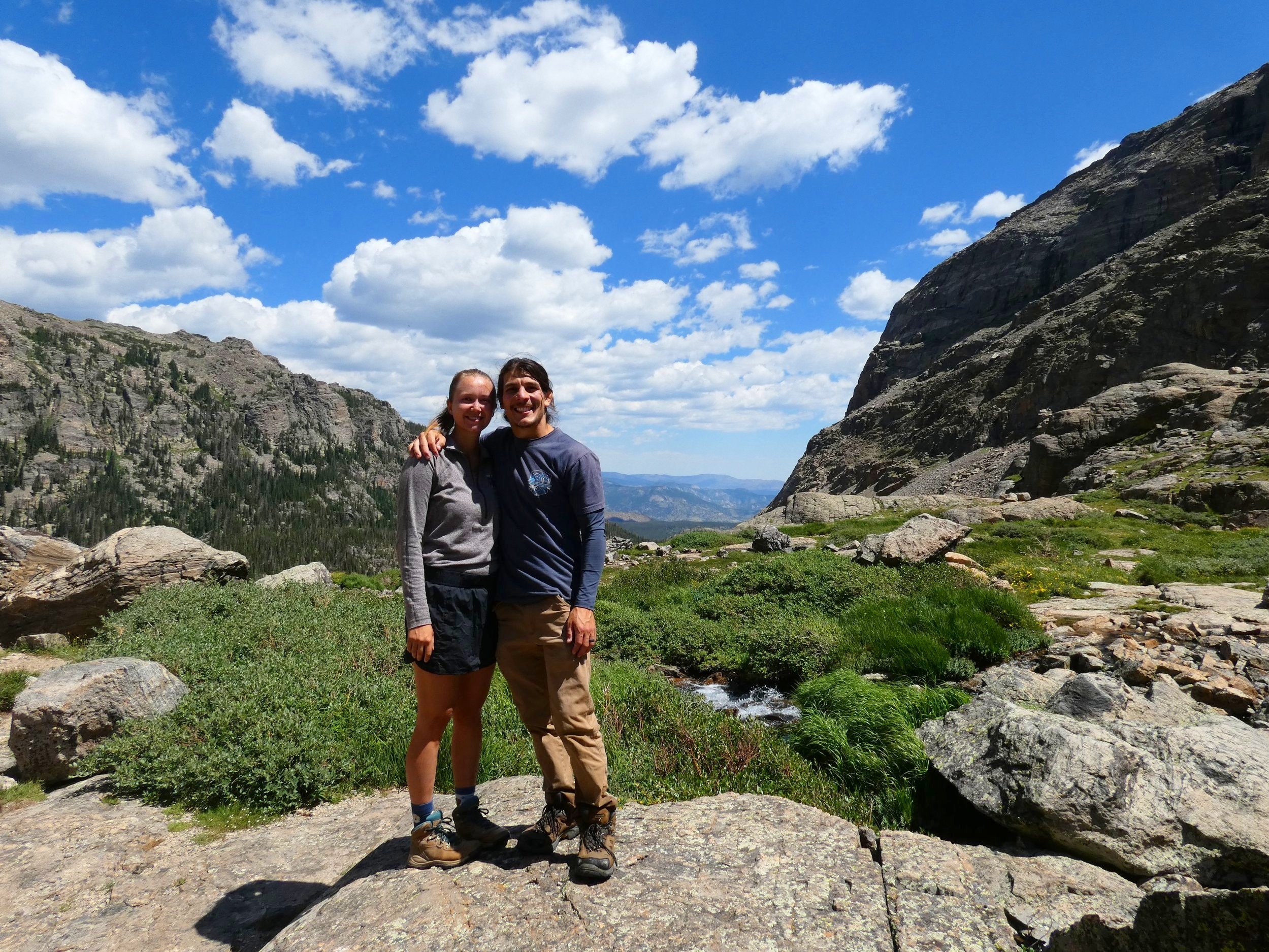
GETTING TO SKY POND
The hike to Sky Pond starts at the Glacier Gorge Trailhead, however, you can also start this trail from Bear Lake.
BEAVER MEADOWS EAST ENTRANCE
From the east entrance at Beaver Meadows it’s 10 miles or a 20 minute drive to the Glacier Gorge trailhead. Once you enter the park, head west on Park Entrance Rd. Make a left at Bear Lake Road and continue straight for 8.5 miles. Glacier Gorge Trailhead parking will be on the left.
FALL RIVER EAST ENTRANCE
From the east entrance at Fall River, it’s 16 miles or a 30 minute drive to the Glacier Gorge trailhead. Once you enter the park, head west on Fall River Road for 4.3 miles. Make a left on to US 36/ Park Entrance Rd and continue for 3 miles. Make a right on to Bear Lake Road and continue for 8.5 miles. Glacier Gorge Trailhead parking will be on the left.
KAWUNEECHE WEST ENTRANCE
From the west entrance at Kawuneeche, it’s 49 miles or 1.5 hour drive to the Glacier Gorge Trailhead. Once you enter the park, take Trail Ridge Road north for 40 miles. Make a right on to Bear Lake Road and continue for 8.5 miles. Glacier Gorge Trailhead parking will be on the left.
TIP | If parking is full, head 3 miles down the road to the Rocky Mountain National Park Park & Ride located along Bear Lake Road and take the shuttle to the trailhead. Park & Ride is across from the Glacier Basin Campground.

See our Complete Guide to Rocky Mountain National Park for details on the parks reservation system, entrance fees, shuttle bus, & more.
WHAT TO BRING
Plenty of Water
Be sure to pack extra water and stay hydrated while exploring. We love adding LMNT’s electrolyte packets to our insulated water bottles to stay hydrated for the whole day.

Simple Modern Water Bottle with Straw and Chug Lid Vacuum Insulated Stainless Steel Metal Thermos | Reusable Leak Proof BPA-Free Flask for Sports Gym | Summit Collection | 32oz, Sea Glass Sage
Hiking Shoes
While there are many easy paths to explore in Rocky Mountain there are a few trails that are rocky and steep. To have the most comfortable experience on the trails we recommend wearing a proper hiking shoe or boot to provide good traction and support.

Columbia Women’s Newton Ridge Plus Hiking Shoe, Elk, River Blue, 7
Sun Protectant
Weather can be unpredictable in the park so it’s best to bring your favorite sunscreen and wear sun protectant clothing when exploring.

Libin Women’s Full Zip UPF 50+ Sun Protection Hoodie Jacket Long Sleeve Sun Shirt Hiking Outdoor Performance with Pockets Ice Blue M
Hiking Sticks
These have been a LIFE SAVER. Hiking sticks are so helpful in giving you extra support as you climb up steep trails as well as coming down steep trails. They provide extra stability and we no longer hike without them.

Montem Ultra Strong Trekking, Walking, and Hiking Poles – One Pair (2 Poles) – Collapsible, Lightweight, Quick Locking, and Ultra Durable (Black Matte)
First Aid Kit
It’s never a bad idea to carry a small first aid kit while exploring in Rocky Mountain. Cell service doesn’t really exist in the park so it’s good to be prepared in case of an emergency.

General Medi Mini First Aid Kit, 110 Piece Small First Aid Kit – Includes Emergency Foil Blanket, Scissors for Travel, Home, Office, Vehicle, Camping, Workplace & Outdoor (Red)
Crampons
In case there’s snow on the trails, it’s a good idea to carry a pair of crampons so you don’t slip on ice or snow.

Crampons Ice Cleats Traction Snow Grips for Boots Shoes Women Men Kids Anti Slip 19 Stainless Steel Spikes Safe Protect for Hiking Fishing Walking Climbing Mountaineering (Orange, Medium)
Jacket
Temperatures at higher elevations can be 10 to 15 degrees cooler so its not a bad idea to carry a warm jacket with you.

Columbia Women’s Benton Springs Full Zip, Cirrus Grey Heather, Medium
Lunch / Snacks
It is highly recommended to pick a lunch and snacks when exploring Rocky Mountain. The only food option available inside Rocky Mountain National Park is the Trail Ridge Store located at the top of Trail Ridge Road.
ABOUT THE TRAIL
Distance: 10 Miles | Difficulty: Strenuous | Elevation Gain: 1,771 FT | Time: 6 Hrs
To begin your adventure to Sky Pond, you can start from two trailheads, Glacier Gorge or Bear Lake. Both trailheads are about the same distance. The path starts on a smooth walk through quaking aspens until you arrive at the Glacier Gorge/ Bear Lake Junction where you will continue on the Glacier Gorge Trail toward Sky Pond. A mile into the trail you’ll come up to Alberta Falls.


Continuing on, enjoy the breathtaking mountain views as the path winds its way along the Glacier Gorge Creek. You’ll pass Glacier Knobs on the right towering almost 10,000 feet and come up to two more junctions, Boulder Creek and Lake Haiyaha. From here you will follow the signs toward The Loch/ Sky Pond.
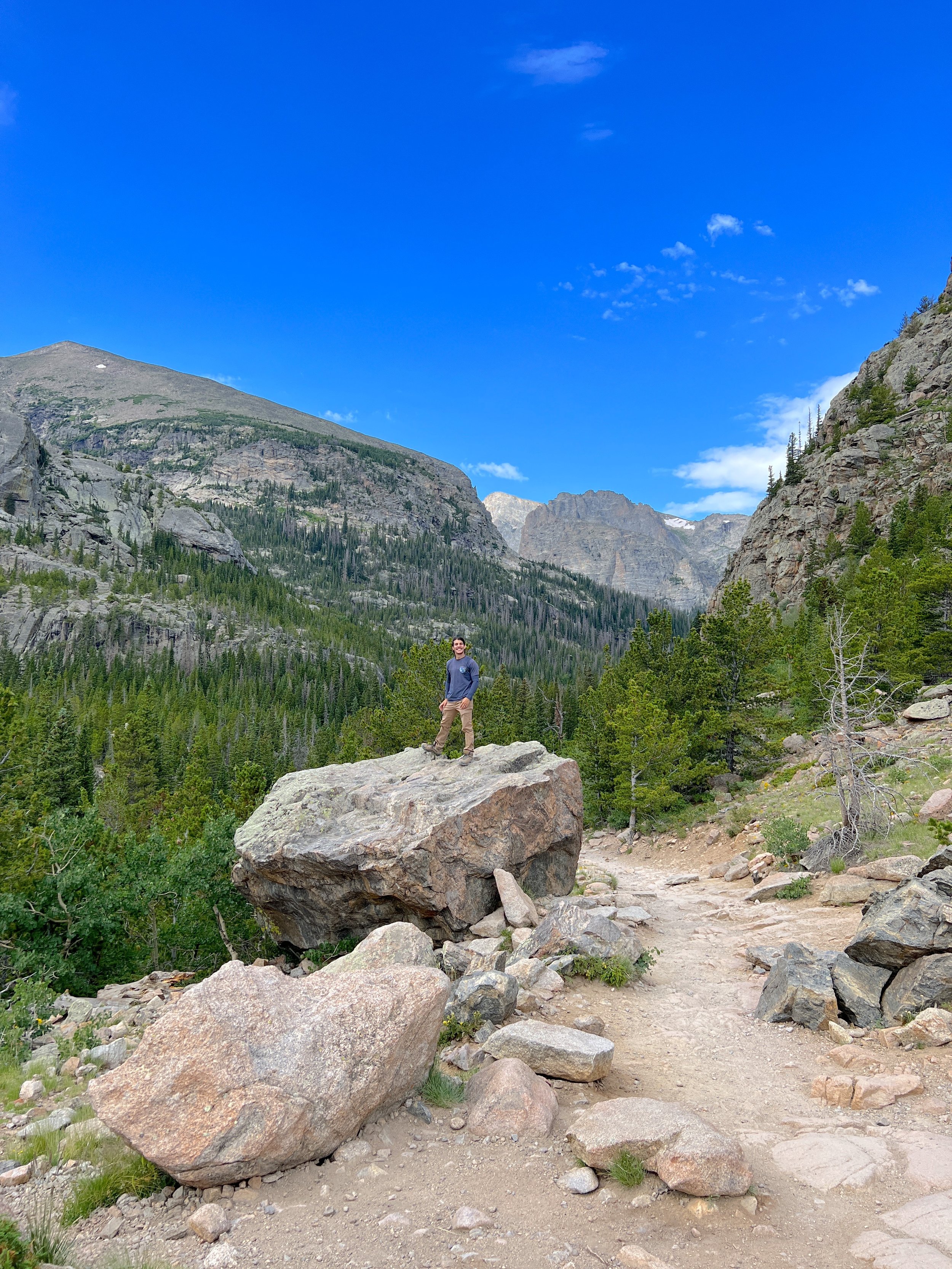


About 3 miles into the trail and 1,000 feet of elevation gain you’ll come up to The Loch. Most hikers turn around here if you aren’t planning to go all the way to Sky Pond.
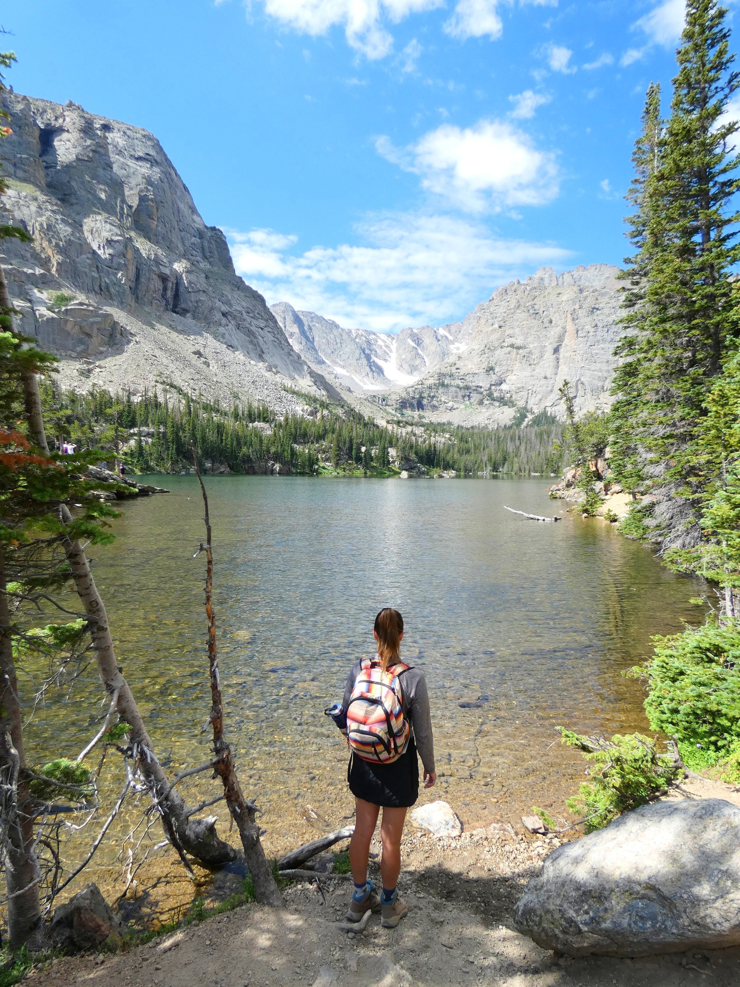
The trail follows along the shoreline of The Loch with truly stunning views of the towering mountain peaks. The path starts to gain more elevation as you wonder through lush alpine fir and spruce trees coming up to Andrews Creek, where you’ll cross a series of wood planks.


The next half mile of the trail is fairly exposed with little tree coverage as you climb up a series of rock steps. You’ll come up to Timberline Falls, where the trail climbs up and over this rushing waterfall. This part requires complete concentration and sure footing. The rocks can be slippery with not much space to maneuver so take your time and be careful. Once you make it up the waterfall, you’re nearly there.
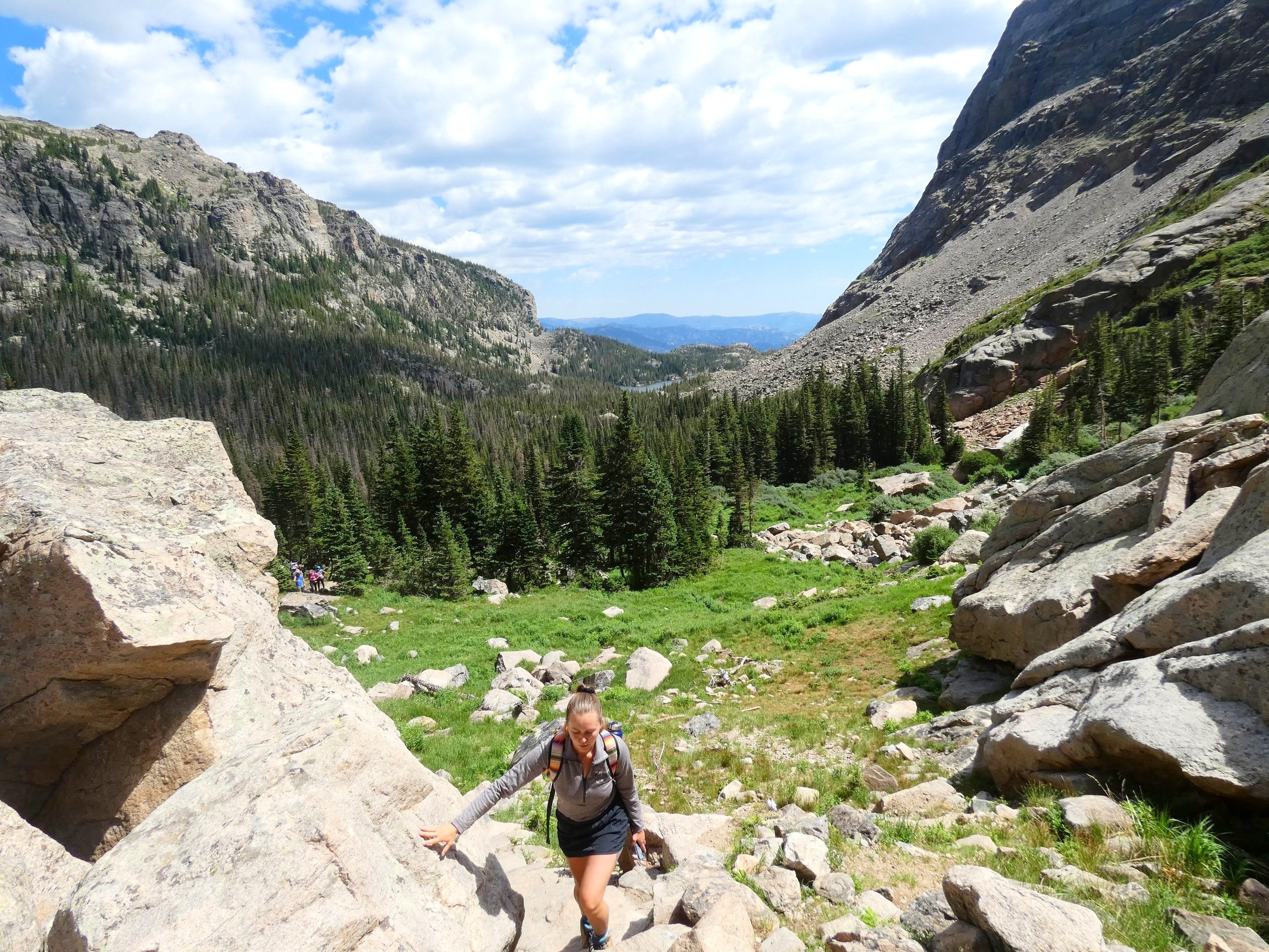

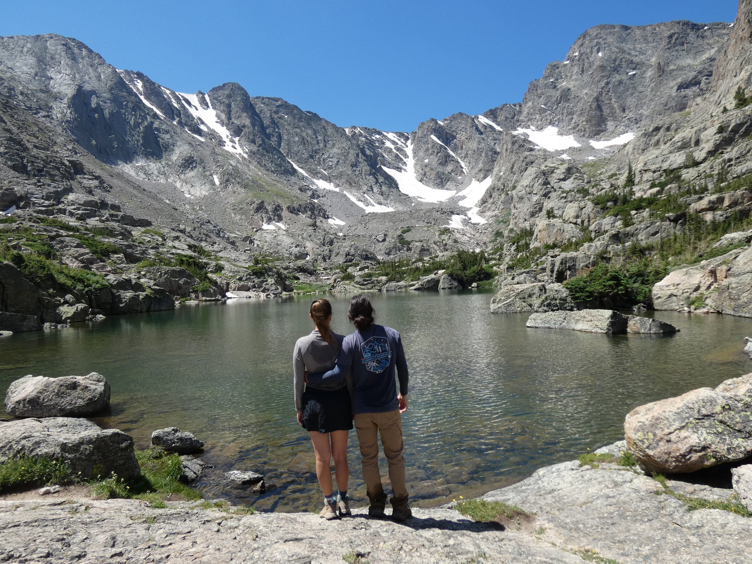
After conquering Timberline Falls, you are rewarded with breathtaking views of Lake of Glass.

The last half mile of the trail can be hard to follow because the path turns into jumbles of rock. You will basically be rock hoping all they way to Sky Pond. We recommend downloading AllTrails to make sure you don’t ver too far off the path.

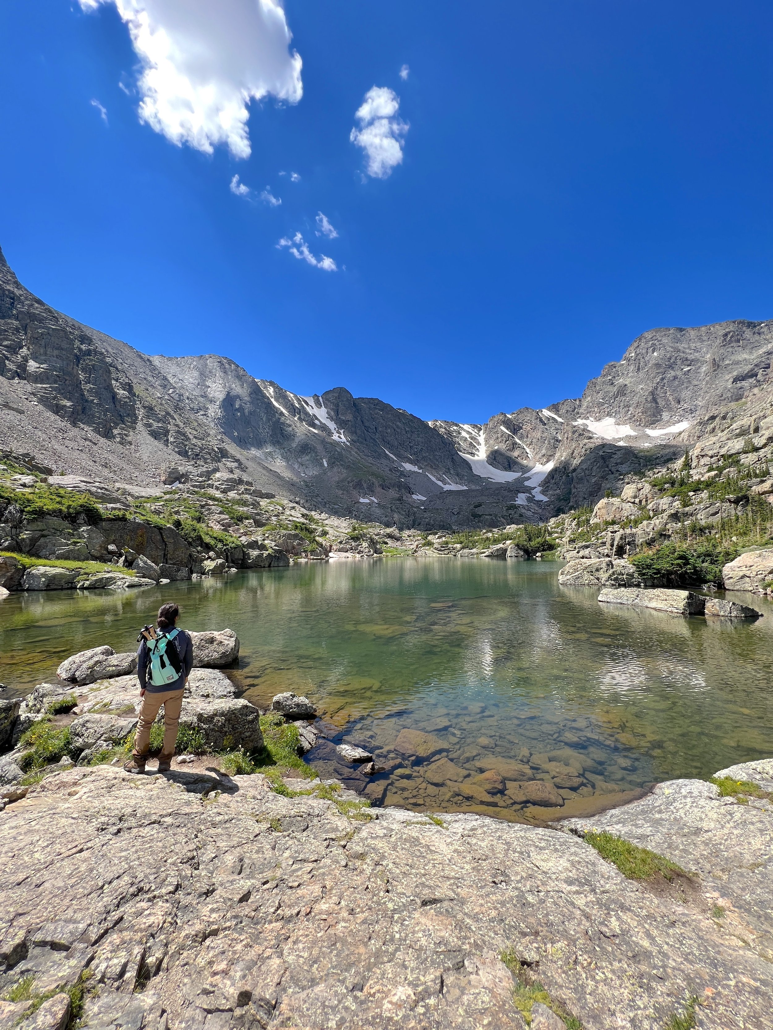
Once you make it to Sky Pond grab spot on a rock boulder, have lunch, and enjoy the epic views from 10,800 feet above sea level. Sharkstooth is off to the right towering over 12,000 feet with Taylor Peak, Powell Peak, & McHenrys Peak all towering over 13,000 feet. It’s important to note that there isn’t a lot of flat land once you get to Sky Pond. It is essentially a large collection of rock boulders.

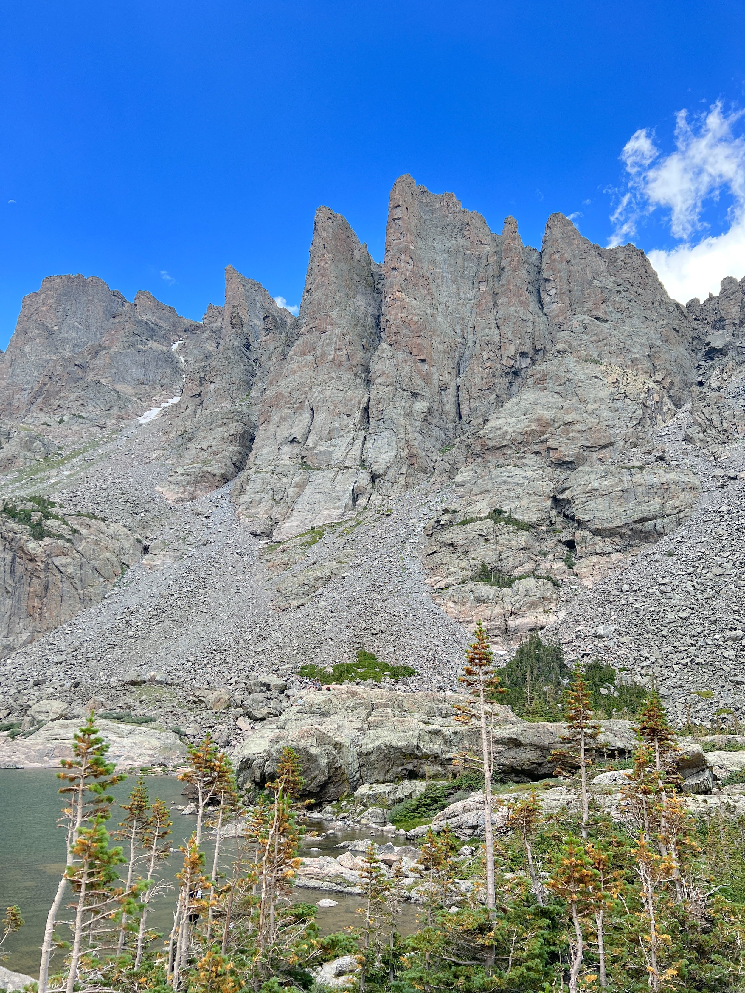
Let us know in the comments if you’ve ever hiked Rocky Mountain’s Sky Pond!

