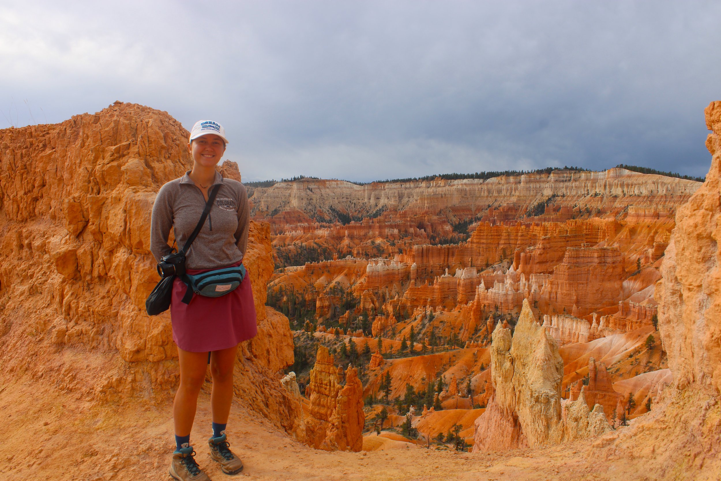
Take a tour through Bryce Canyon National Park’s stunning scenery on this 6 mile hike through Queen’s Garden, Peekaboo, and Navajo loop trails also known as figure 8 loop. This trail guide featuring everything you need to know before you go, including best time to visit, what to bring, about the trail, and much more.
If you’re coming to Bryce Canyon National Park, then you’ve probably heard of Navajo, Wall Street, Queens Garden, and Peekaboo trails. Individually, these trails are short but they can be combined into one epic 6 mile day hike known as the figure 8 loop.
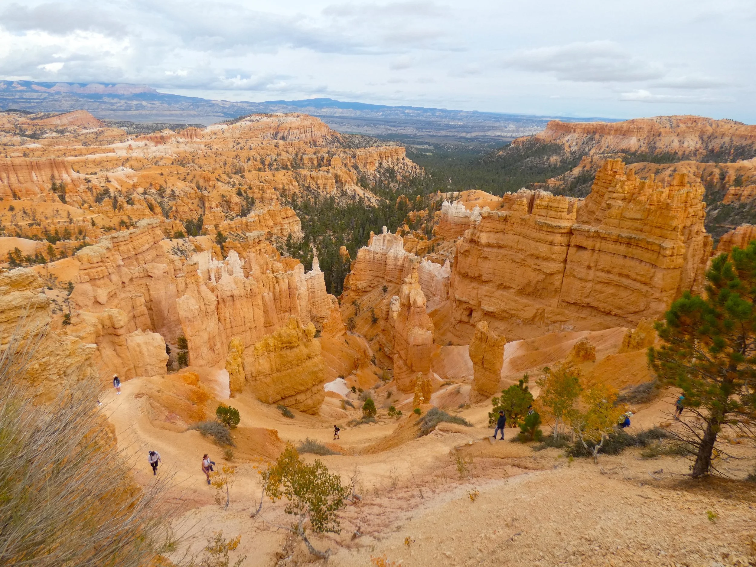
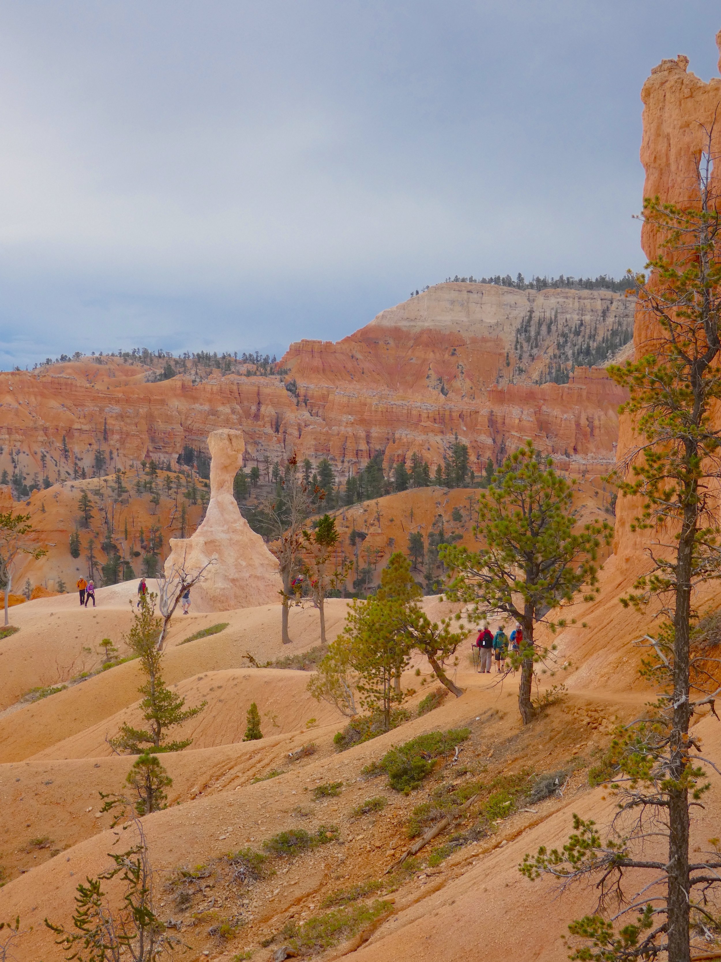
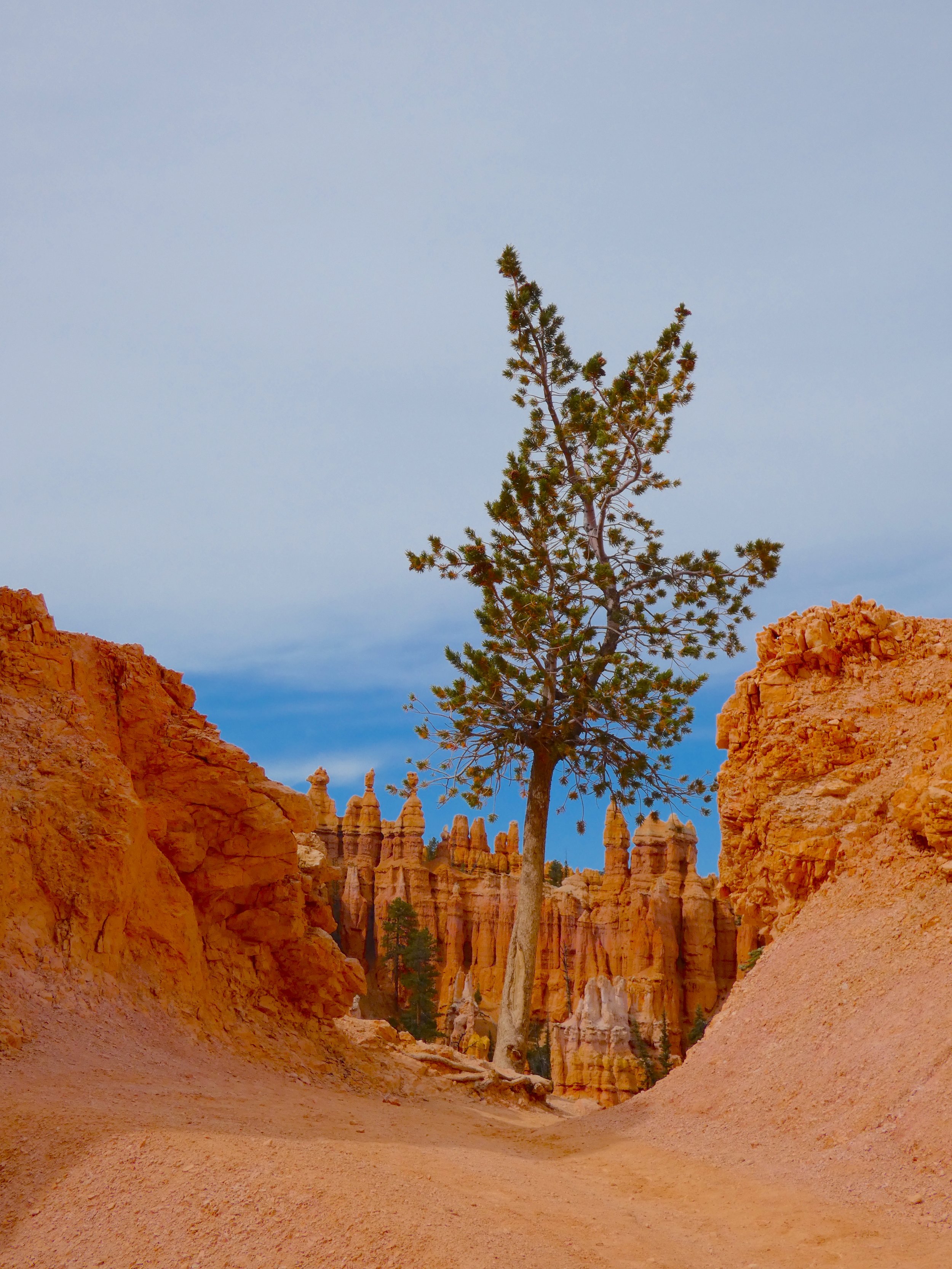
As Bryce Canyon’s most popular trail, the figure 8 loop winds you in and out of colorful hoodoos, up and over ridges, and through archways, providing an experience like no other. This trail is a great place to explore the diversity of rock formations and plant life found in Bryce Canyon National Park.
This post contains affiliate links, so we may earn a small commission when you make a purchase through links on our site at no additional cost to you.
TRAIL VARIATIONS
This hike combines 3 separate trails into one 6 mile hike. If you are looking to do a shorter hike, there are a couple of options.
Navajo Loop | 1.5 miles
Navajo Loop + Queens Garden | 3.1 miles
Wall Street + Queens Garden | 3.2 miles
Queens Garden + Wall Street or Navajo + Peekaboo ( Figure 8 Loop ) | 6.3 miles
No pets are allowed on the Figure 8 Loop Trail.
During our stay a recent thunderstorm washed out the Wall Street portion of the trail so we started at Queens Garden to Peekaboo and came up Navajo. Summer thunderstorms are common so check for current conditions before you plan your trip out to Bryce.

GETTING TO THE TRAIL
The figure 8 loop trail can be started from 3 different trailheads, Navajo, Wall Street, or Queens Garden, all are located along the Rim Trail.
TIP: During summer months parking can be a challenge so you can always park outside the park at the park & ride and take the shuttle from Bryce Canyon City, located just outside the entrance station.
See our Guide to Bryce Canyon National Park for the parks full pet policy, entrance fees, & amenities.
BEST TIME TO VISIT
Bryce Canyon National Park is open all year long giving you the opportunity to see this park in a variety of ways. The busiest months are May to September for the parks ideal hiking and camping weather. Summers in Bryce are extremely busy. Average highs are in the 70’s and 80’s with frequent brief thunderstorms.
Winter brings fewer crowds and much colder days in Bryce Canyon. Average highs are in the 30’s with lows in the teens. The park receives several feet of snow which limits the number of roads and trails available for use.
Always check for current conditions before venturing into Bryce Canyon National Park.
WHAT TO BRING
Plenty of Water
Bryce Canyon National Park is high desert which means hot and dry especially in the summer. Be sure to pack extra water and stay hydrated while exploring. We love adding LMNT’s Electrolyte Packets to our Simple Modern Insulated Water Bottles to have ice cold water for the whole day.

Simple Modern Water Bottle with Straw and Chug Lid Vacuum Insulated Stainless Steel Metal Thermos Bottles | Reusable Leak Proof BPA-Free Flask for Sports | Summit Collection | 32oz, Almond Birch
Hiking Shoes
While there are many easy paths to explore in Bryce Canyon there are a few trails that are rocky, sandy, and steep. To have the most comfortable experience on the trails we recommend wearing a proper hiking shoe or boot to provide traction and support. Columbia Mens & Women’s Hiking Boots are a game changer.

Columbia Women’s Newton Ridge Plus Hiking Shoe, Elk, River Blue, 7
Sun Protectant
There is not much shade on any trails in the park so it’s best to bring your favorite sunscreen and wear sun protectant clothing when exploring.

Libin Women’s Full Zip UPF 50+ Sun Protection Hoodie Jacket Long Sleeve Sun Shirt Hiking Outdoor Performance with Pockets Ice Blue M
Hiking Sticks
Montem Ultra Strong Hiking Poles have been a LIFE SAVER when exploring national parks. They’re helpful in giving you extra support as you climb up steep trails as well as coming down steep trails. They provide extra stability and we no longer hike without them.

Montem Ultra Strong Trekking, Walking, and Hiking Poles – One Pair (2 Poles) – Collapsible, Lightweight, Quick Locking, and Ultra Durable (Black Matte)
First Aid Kit
General Medi Mini First Aid Kit is a must have when exploring national parks. Cell service doesn’t really exist in the park so it’s good to be prepared in case of an emergency.

General Medi Mini First Aid Kit, 110 Piece Small First Aid Kit – Includes Emergency Foil Blanket, Scissors for Travel, Home, Office, Vehicle, Camping, Workplace & Outdoor (Red)
AMENITIES IN THE PARK
VISITOR CENTER
Open year round and a great place to start your adventure in Bryce Canyon National Park. Load up on info, pick up a park map, and get exploring. Here you can also find water filling stations, restrooms, gift shop, museum exhibit, and permits for backcountry camping. Hours and services vary by season so it’s best to check for current conditions before planning a trip.
GENERAL STORE
Located near Sunrise Point and the North Campground. The General Store offers restrooms, showers ( during summer ), camping supplies, as well as. varies grab & go food items. Closed January to March.
TOWNS NEARBY
BRYCE
Located 3 miles from the entrance and is known as the gateway to Bryce Canyon National Park. The town was founded in 1916 when Reuben C. “Ruby” Syrett built series of lodges & cabins known as Ruby’s Inn. The town sits at 7,600 feet and has a population of 198.
ABOUT THE TRAIL
Distance: 6.3 Miles | Difficulty: Strenuous | Elevation Gain: 1,499 FT | Time: 4 Hrs
We started the figure 8 loop at the Queens Garden Trailhead which is located right next to Sunrise Point. The trail starts with a 320 foot descent into Queens Garden with AMAZING views of the Bryce Canyon amphitheater.

About a mile into the trail you’ll be surrounded by towering orange hoodoos and pass through unique rock archways as you come up to Queen Victoria.


Continuing on 1.7 miles you’ll reach the junction for Navajo, Wall Street, and Peekaboo Loops. If you didn’t want to continue to Peekaboo, you could go up Wall Street or Navajo to make it a 3 mile trail.
The Peekaboo portion of the trail is 3.5 miles and has elevation gain of 325 feet. Making your way toward Peekaboo loop you’ll get on a short and flat connecting trail across Bryce creek. Since Peekaboo is a loop you can either go to the left or right. The left is a more gradual climb where as the right is a steeper climb.

We went to the right and took the strenuous climb up. The path is fairly smooth and packed making it easy to navigate. Off to the right you can see The Cathedral and Hindu Temples.

The next 2 miles is a strenuous climb up and over ridges toward the Wall of Windows. The trail then descends 300 feet passing Peekaboo Arch and heads back toward Navajo & Wall Street trail junctions. There are vault toilets available on this part of the trail.
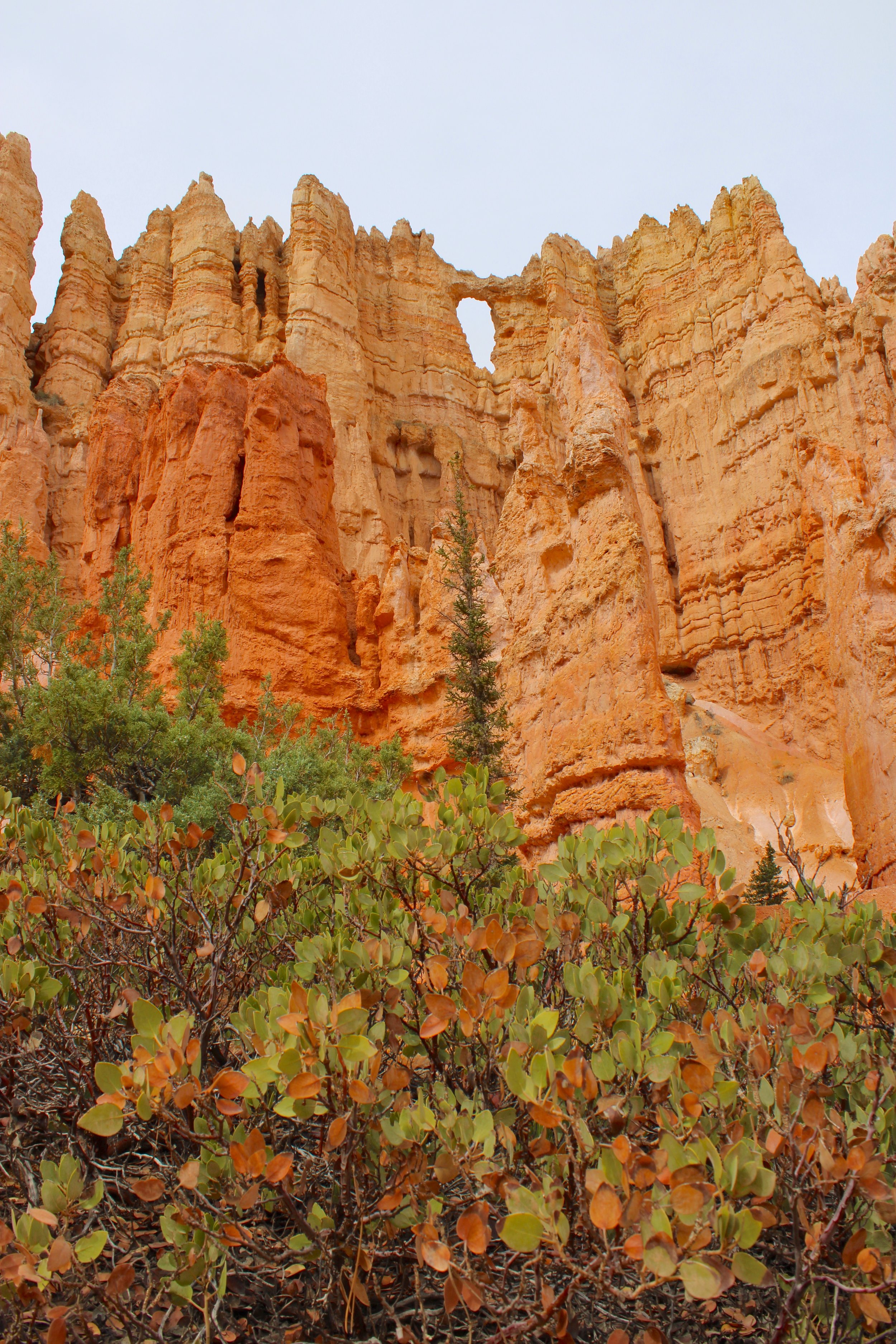
We went up Navajo since Wall Street was washed out from a recent rainstorm. The last 0.8 miles of the trail climbs 500 feet up a series of switchbacks as you make your way of the amphitheater. Off to the right is Two bridges and Thors Hammer.


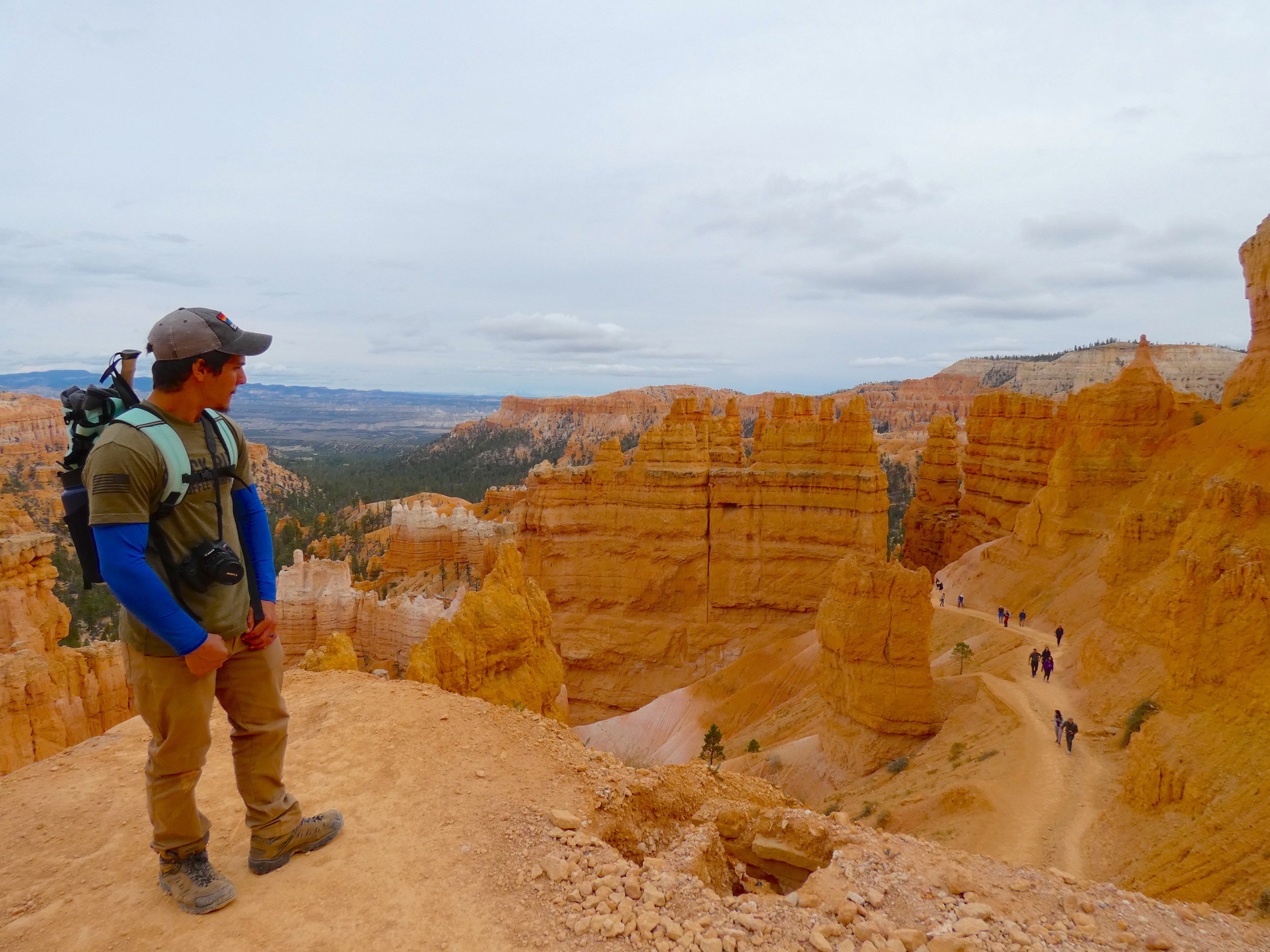
Let us know in the comments if you’ve ever hiked the figure 8 loop trail.
